The Cayuga Lake Blueway Trail: A New Way to Explore the Longest Lake in the Finger Lakes
It’s a brand new way to think about experiencing Cayuga Lake. There are a couple of dozen paddling routes to choose from to help you explore new sights and sounds on and around Cayuga Lake. It’s your newfound excuse to appreciate the great outdoors when the sun comes out in the Finger Lakes, and to pop into a store or restaurant that’s been on your radar.

The welcoming signage at Long Point State Park
If there’s one thing I’ve learned in my travels, it’s that it’s not just where you’re travelling and exploring that matters, but how. It’s easier than it seems to arrive to a destination, but not see a destination.
Initiatives like the Cayuga Lake Blueway Trail, a newly designed trail connecting 12 waterfront sites and featuring 24 distinct paddling trips, are designed to ensure that you’ll create the memories you should when visiting the longest lake in the Finger Lakes.
What Exactly is the Cayuga Lake Blueway Trail?
In sum, it’s a public water-recreation trail designed for non-motorized watercrafts (kayaks, paddleboards, canoes etc.) to explore the wonders of Cayuga Lake. It’s about offering visitors the chance to see the 40 mile long lake from all sides, but also to give people a better chance to connect with local businesses, towns, and culture.
Yes, there is a lot of shoreline on Cayuga Lake that’s private, but this trail leads people to publicly-accessible launch sites that are spread out nicely along the shores of the famed New York Lake.
Personally, when you’re exploring, I’d recommend nabbing yourself a nifty little Cayuga Lake Blueway Trail Pocket Guide printed on waterproof paper. It carefully (and visually) denotes all 24 routes (which I’ll also cover in detail below). Check out the shop here to see where you can pick one up.
How (and Why) It Came to Be

Representing the Trail at Allan H. Treman State Park Marine Park (Ithaca, New York)
The roots of this trail can be traced back to 2013, when it was put forth as a collaborative initiative by Cayuga County, Seneca County, Tompkins County, and other communities that surround the lake.
The idea, since inception, has been all about helping people better connect with Cayuga Lake and the surrounding area, and to make the most of it.
State Parks Commissioner Erik Kulleseid notes:
“The Cayuga Lake Blueway Trail provides even more opportunities for visitors to connect with Cayuga Lake and discover the amazing outdoor recreational activities of the Finger Lakes Region. The combination of paddling trips and other adventures will allow visitors to better explore the marina at Allan H. Treman State Park, camping at Cayuga Lake State Park, fishing and picnicking at Long Point State Park, hiking trails to one of the highest waterfalls in the east at Taughannock Falls State Park, along with many other rewarding experiences that the outdoors provide.”
As you might imagine, it was put forth with the idea of helping visitors and locals explore during the warmer months.
As New York State Secretary of State Rossana Rosado mentioned, “the summer is the perfect time to take a break from the rush of our daily lives and enjoy with family and friends the scenic views and outdoor activities offered by our waterways. The beauty and peace of this Blueway Trail and the mental and physical benefits of being in a natural setting will have a lasting effect on residents and visitors.”
24 Different Paddling Options on the Trail
Here’s an overview of the 24 different routes. If you have flexibility in your schedule, consider weekdays or the early hours of weekend days, when boat traffic tends to be a little bit less.
The routes are of varying length and skill, so when in doubt start small, then build up to larger routes. For example, any of the trips that involve a lake crossing should only be undertaken by more skilled paddlers.
North End Paddling Trips
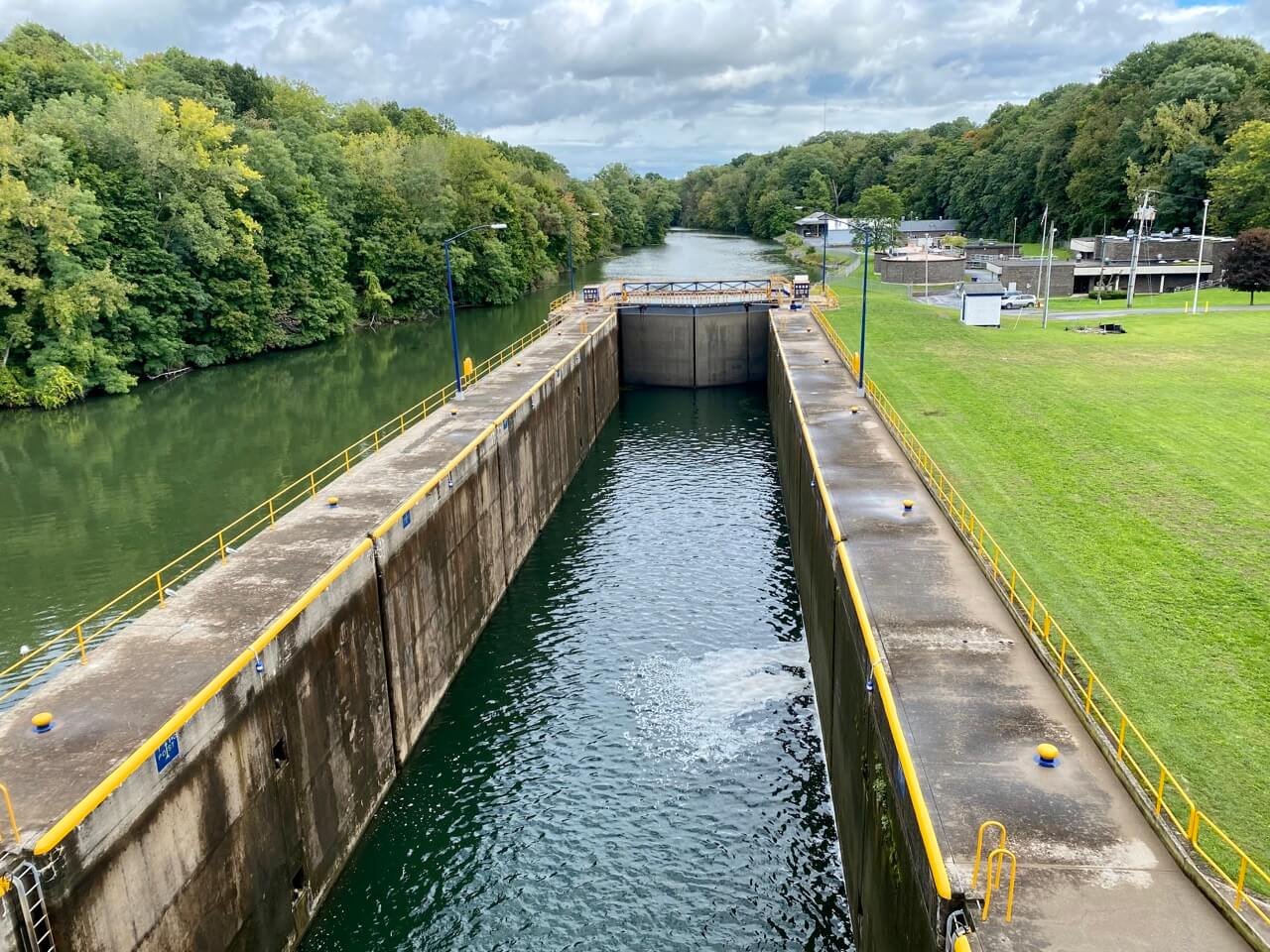
C-S Canal Lock 1 to John Harris Park: A 5.5 mile jaunt along the northwestern shoreline of Cayuga. Typically calm waters with large marshlands and plenty of opportunity for birdwatching and engaging with wildlife.
C-S Canal Lock 1 to Cayuga Lake State Park: This is an extended version of the above route (8.2 miles), only on this route, you continue south along the shoreline to Cayuga Lake State Park. Mind the boat traffic here as you get further south, but much of the route will be about taking in the sights of the quaint cottages and lakefront homes. (The reverse route, Cayuga Lake State Park to C-S Canal Lock 1, is also a paddling route)
John Harris Park to Cayuga Lake State Park: An even 5 mile trip that follows the east shore all the way to the mouth of the Seneca River (at C-S Canal Lock 1, often called “Mud Lock”). Then you head west through the marshes and under the railroad causeway and follow the western shoreline to the state park.
John Harris Park to Frontenac Park: Follow the east shore 5.5 miles pass Frontenac Island (in Union Springs) and on down to the village of Cayuga. Fun fact, Frontenac Island “is located approximately 2,500 feet west of the shore at Frontenac Park, and is one of only two naturally occurring islands in all the Finger Lakes.” (You can also do Frontenac Park to John Harris Park)
Cayuga Lake State Park to John Harris Park: Two lake crossings create a 4.5 mile loop with some time spent on both the eastern and western shoreline.
Frontenac Park to Long Point State Park: 8 miles heading south all the way along the east shore. I’d recommend stopping and exploring the village of Aurora along the way. Thankfully, I’ve written a guide to Aurora, New York, so you can make the most of your visit.
Long Point State Park to Dean’s Cove Loop: Coming in at 10.5 miles, this is one of the longer options on the Cayuga Lake Blueway Trail. You head north along the eastern shore, then cross the lake and head south along the western shore before crossing back to Long Point State Park. (you can also do Dean’s Cove to Long Point State Park)
Long Point State Park to Sheldrake Park Loop: A more southern loop coming in at 11 miles with two lake crossings. Take note of the shoreline on the east side when you’re cruising past the former Lehigh Valley Railroad line.
Dean’s Cove to Sheldrake Park: This trip follows the western shoreline of Sheldrake Park and comes in at 7 miles. You’ll pass lakeshore cottages and natural wooded areas.
South End Paddling Trips

Myers Park
Myers Park to Taughannock Falls State Park Loop: It’s a 7 mile loop that follows an active railroad line and relatively underdeveloped area on the east, then cottages on the west. You can also do the trip in reverse, the Taughannock Falls State Park to Myers Park Loop.
Myers Park to Stewart Park: A 7 mile journey along the east side which “follows the eastern shore of Cayuga Lake past the Cargill Salt mines; a dramatic rock escarpment; the active Norfolk Southern Railroad line; and past lakeshore cottages down to East Shore Park. The trip then continues along the eastern shore and the southern shore of the lake to Stewart Park.” Consider exploring Ithaca on the tail-end, or, start by exploring Ithaca then do try Stewart Park to Myers Park.
East Shore Park to Stewart Park: This is the route to start with if you haven’t been in the water in a while and want to how you feel (or if you want to do something like paddleboarding as opposed to your usual preference for a canoe or kayak, which can often move faster). It’s a 1.5 mile trip in shallow waters. Keep an eye out for buoys and sailboats. You can also do Stewart Park to East Shore Park.
Cass Park to Cayuga Inlet Loop: An intimate 4 mile route which follows the Cayuga Inlet to Six Mile Creek, briefly hops on the Flood Control Channel, and on back up the inlet to Cass Park.
Cass Park to East Shore Park Loop: 4 miles which starts by following the western shoreline, crosses over to East Shore Park, then swings back down to Cass Park. If you want to add a bit to this trip, consider venturing up Fall Creek.
Taughannock Falls State Park to Myers Park: From the northern launch site at Taughannock, across the lake, and then follows the eastern shoreline to Myers. It comes in at 4 miles in length.
Taughannock Falls State Park to Cass Park: If the previous trip seemed too short, this is your best bet. It’s a 8 mile trip following the western shoreline all the way down to Cass Park in Ithaca.
Sheldrake Park to Dean’s Cove: Following the western shoreline northward all the way up to Dean’s Cove. A nice and straightforward route coming in at 7 miles.
Sheldrake Park to Long Point State Park Loop: An 11 mile loop which “starts by crossing the lake to the east, then heads north along the eastern shore of Cayuga Lake for approximately 3.5 miles to Long Point State Park. The trip then crosses the lake to the west, then heads south along the western of Cayuga Lake for approximately 4.5 miles back to Sheldrake Park.”

Taughannock Falls
Full details (and maps) for the aforementioned paddling trips can be found right here. Further ideas for itineraries can be found here.
Don’t be scared to make some alterations though and build your own trip. For example, I made a stop in Seneca Falls since I was interested in the history there.
What Else Should You Know?
One thing that’s nice about Cayuga Lake is that it’s long and narrow, so you’ll never be out of sight of the shoreline. It is, however, rather deep, and that means it can also be quite cold even in the summer. Wearing a life-vest/lifejacket is a smart idea because of the depth and temperature, and just as a general rule for water safety.
In terms of other safety tips, it’s always a smart idea to check the weather, and let someone know about your plans. You also want to keep your eyes out for powered vehicles when you’re out on the water. I also always try to wear bright coloured clothing.
There’s no charge to do the Cayuga Lake Blueway Trail, but some of the launch sites charge a fee. As they note, “the New York State Parks, Recreation and Historic Preservation sites, which include Taughannock Falls State Park, Dean’s Cove State Boat Launch, Cayuga Lake State Park and Long Point State Park, charge a vehicle-entry fee during the summer season.”
Lastly, have fun! This is a wonderful way to re-experience the wonders of Cayuga Lake and the Finger Lakes Region.

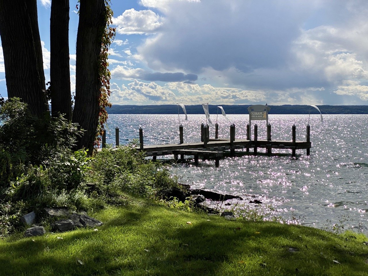
Wishing you perfect weather on your adventure! (Taken just outside Ithaca, NY on Cayuga)
I want to humbly thank the Cayuga Lake Blueway Trail & Brave World Media for hosting me as media. All opinions are completely my own.
If you appreciated this article, you’ll love our newsletter, as well as our Facebook group! Feel free to join, just like the Rochester Fringe all are welcome.