The Virginia Capital Trail: Explore Four Counties and 50+ Miles Via Bike!
The Virginia Capital Trail is a dedicated paved bicycle and pedestrian trail that began construction in 2006 and was completed in 2015. It now attracts well over 1 million visitors per year and, as you’ll find out, for very good reason. Find out all you need to know about the Virginia Capital Trail.
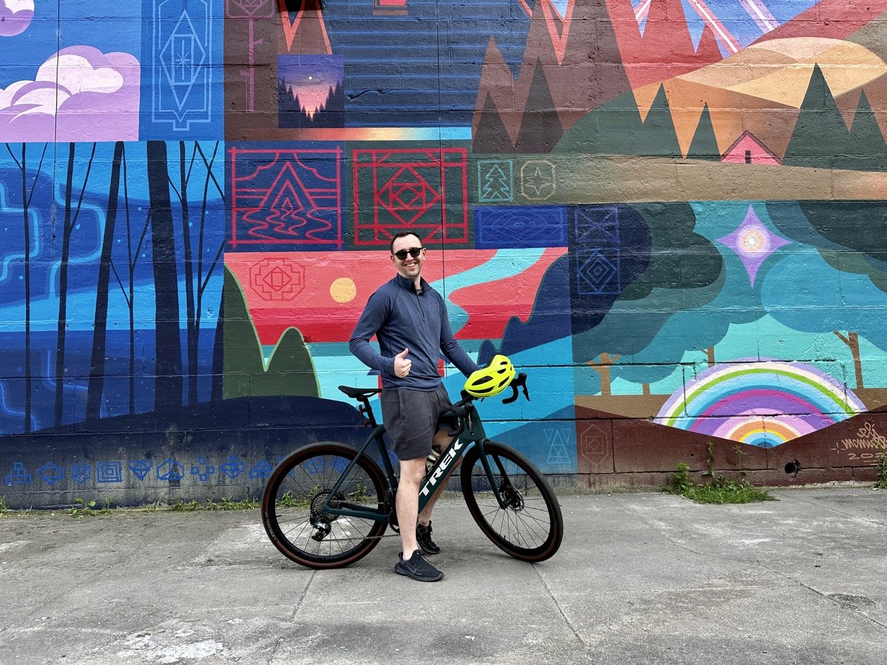
Appreciating some of the street art in Richmond along the Trail.
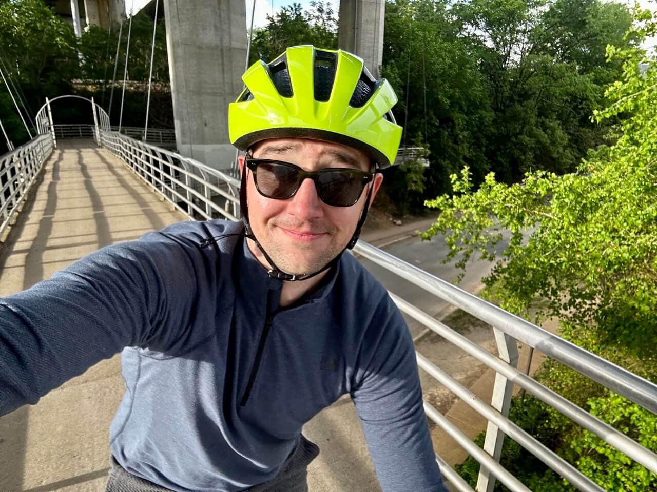
I was excited to come to Richmond for a myriad of reasons (visiting the Quirk Hotel very much being one of them), but longtime readers will know that that few things get me more excited than the opportunity for cycling.
From well before the time that I set out to explore Richmond, I had the Virginia Capital Trail firmly on my radar. For those who don’t know, the Virginia Capital Trail is a multi-use, fully paved trail that that extends over 50 miles. It weaves through the City of Richmond, Henrico County, Charles City County, and James City County, and aims to provide cyclists a pleasant riding experience, but also encourages cyclists to stop at the dozens of attractions along the way.
It provided more than enough reasons for me to want to rent a bike while there, and get to exploring. I was extremely fortunate to be met by Marci Chamberlain, Events Manager with the VA Capital Trail Foundation, to make sure that I had a full picture of just what makes this trail so special.
How Did the Virginia Capital Trail Come to Be?

You can expect the Trail to be well maintained!
Getting the Project Rolling
Many people don’t realize that, although the Virginia Capital Trail only came to fruition relatively recently, it’s been in the works for quite some time. The vision for this trail dates back nearly 50 years.
It all began in 1975 when Route 5 was designated as the Commonwealth's second Virginia Byway, ultimately recognizing its importance as a truly scenic route. Fast forward to 1991 when a report known as House Document No. 44 recommended the inclusion of bicycle lanes on Route 5, while emphasizing the preservation of its picturesque character (something I’d say they’ve done very well).
The wheels were really set in motion in 1996 when the Virginia Department of Transportation (VDOT) initiated a feasibility study to explore the construction of a bicycle path adjacent to Route 5. The study, completed in 1999, proposed a multi-use trail that would genuinely enhance the Route 5 corridor.
Things went quiet for a moment until Governor Mark Warner's Secretary of Transportation, Whitt Clement, championed the cause in 2003, making the Route 5 multi-use trail a priority and securing some initial funding. In 2004, federal enhancement funds were obtained for the first two segments of the trail which were to be located in James City County. Preliminary design work began, and this marked a massive step forward.
In July 2005, the Virginia Capital Trail Foundation was established as a nonpartisan advocacy partner to provide expertise, raise public awareness, and to seek funding for the trail's enhancement and promotion. The momentum continued to build as negotiations with private and commercial landowners progressed, garnering support from key figures such as Richmond Mayor Douglas Wilder, who endorsed the trail in 2005.

The new jersey I added to my wardrobe to celebrate the opportunity to hit this Trail in full force.
The Pace Starts to Pick up
The groundbreaking ceremony for the Greensprings Road portion of the Virginia Capital Trail took place in September 2005, with Governor Mark Warner delivering the keynote address in Jamestown. Shortly thereafter, Governor Tim Kaine addressed a crowd, and pledged to allocate all construction funding before the end of his term (to much fanfare).
Various milestones were reached in the ensuing years. Ground was broken for the 8-mile Charles City County portion of the trail in 2008, and designs for a Trail-wide signage system and the first trailhead in James City County were approved in April 2009.
The opening of the Richmond Downtown Phase 1 portion of the Trail in December 2009 further cemented the trail's significance. Not long after, The Jamestown Trailhead ribbon-cutting ceremony took place, and that was followed the groundbreaking of the Sherwood Forest phase of the Trail. Finally, the Great Shiplock Park Trailhead was opened in October 2013.
The culmination of this remarkable journey came in October 2015 when the entire Virginia Capital Trail was opened.
What Do You Need to Know About the Virginia Capital Trail?
The trail is accessible to all. So, cyclists are very much welcome, but it’s also open to skateboarders, walkers, runners, dog walkers and more. Be mindful of others on the trail if you’re out and about on your preferred saddle.
What Do the Sections of the Virginia Capital trail Look Like?
Let’s quickly look at the miles of the trail that pertain to each respective county:
Greensprings - 2 miles
Chickahominy Riverfront - 5 miles
Sherwood Forest - 13.2 miles
Charles City Courthouse - 7.6 miles
New Market Heights - 10.4 miles
Varina - 12.2 miles
Richmond - 1.3 miles
Planning Your Day of Riding on the Trail

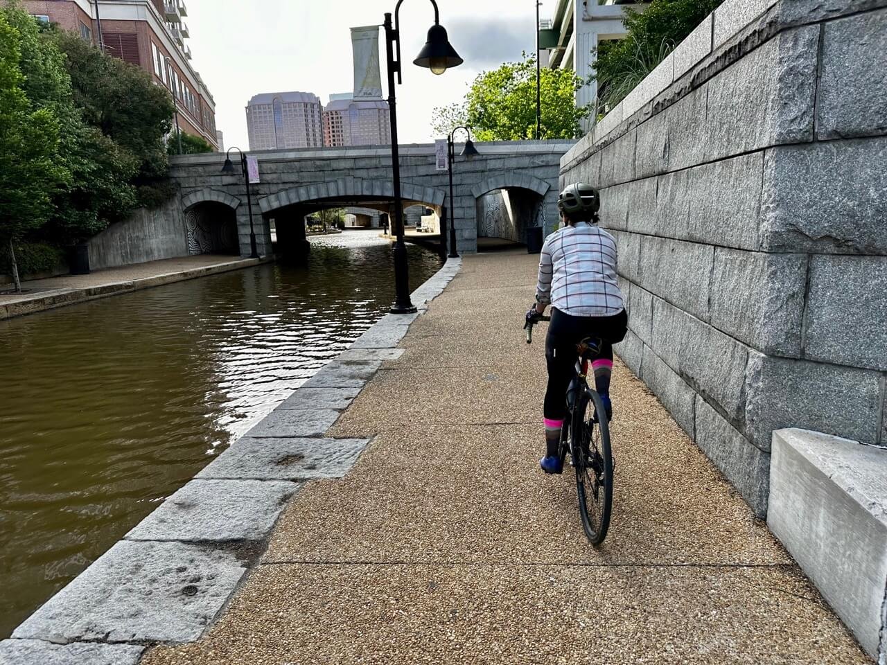
Cyclists enjoying the trails on Belle Isle.
The Virginia Capital Trail Foundation has done a brilliant job of creating itineraries that support the needs of all riders. They’ve planned itineraries for riders that are keen to ride 0-15 miles, 16-30 miles, and 31+ miles.
If you’re looking to ride 0-15 miles, consider the Great Shiplock Park to Park to Rockett’s Landing (2.4 miles), or Jamestown Settlement to Chickahominy Riverfront Park (13 miles) routes.
If you’re keen to ride 16-30 miles you’ll want to look at the opportunity to Camp at Chickahominy Riverfront Park, Then Ride the Trail (33.2 miles), take a peek at the Four Mile Creek Trailhead to Brown’s Island and T. Tyler Potterfield Memorial Bridge (26.2 miles) route, look at Charles City Courthouse to Chickahominy Riverfront Park (28 miles), Four Mile Creek to Harrison Park (26 miles), or the Great Shiplock Park to Four Mile Creek Trailhead (22.4 miles) respective routes.
If it’s a lengthier ride you’re after, then it’s the 31+ mile routes that you’re going to be hungry for. The Civil War Tour route (66.4 miles) is a very popular ride, but you can also do Great Shiplock Park to Cul’s Courthosue Grille (62 miles), or The Plantations Tour (40 miles).
Each of the links above will note the attractions along the way so that you can plan your route accordingly. As a cycling advocate, and someone who understands how cycling tourism can positively impact communities, I can’t say enough about these planned itineraries, which make it easy for any rider to hop on established routes and breathe in ample fresh air, culture and history or plan their own route that suits their needs best.
Also, these maps are handy in case you want to print one out before arriving, or you can save them as PDFs.
Answering Your Frequently Asked Questions
My goal here is to make this article a one-stop shop for you, so I’m going to dive into some FAQs here to make sure you’re ready to ride.
Firstly, let’s talk about restrooms. “There are restrooms located at the Jamestown Settlement (during business hours), Spoke + Art Provisions, Chickahominy Riverfront Park, Charles City Courthouse, Re-Luv-It (during business hours), and Dorey Park. Portable toilets are also available at Herring Creek, Turkey Island, Four Mile Creek, and Great Shiplock Park.” Water is also available at many of these stops.
Here are some dining options. I personally planned my trip so that I could have dinner at The Boathouse (in Richmond), overlooking the water, and was served a beautiful piece of fish and a local beer. It felt like an ideal way to cap off the day. You’ll likely want to plan your meals for population centres like Richmond, Charles City, Williamburg, or Henrico, depending on the route that you’re taking.
I also want to mention that you shouldn’t hesitate to turn this into a multi-day affair. There are plenty of hotel options in the communities along this trail, and there are also camping sites on offer.
This trail is also an ideal way to ingratiate yourself with the communities along it. There are weekly group runs and rides, and so much more. Head here if that’s of interest to you.
Finally, the Virginia Capital Trail is ambitious. They’ve got more planned on the horizon in terms of improvement and expansion, and all that can be seen right here.
There’s no right or wrong way to enjoy the Virginia Capital Trail, there’s only your way. So I hope that you use this information as a launching point to form new memories, and to recognize that this trail is for everyone, and that very much includes you.